On Tuesday, I had the opportunity to ride my bicycle on the newest portion of the White River Trail. According to the city’s link, this trail extends from 30th Street to the Indianapolis Zoo, but the southern extension to Raymond Street has actually been completed for months. It already shows up on Google Maps (pan down a few frames to find the extension).
The trail is a great opportunity to play tourist in your own town, featuring panoramic views of the downtown skyline. There are nice historical markers in place that were designed by the late Eric Fulford.
Most of the ride is quite pleasant:


There are also reminders that this is an urban place, and that urban places are messy, such as this Combined Sewer Overflow cover:

The remnants of the GM Stamping Plant loom large in the area. The southwest side of the river was highly industrialized:

Looking north from the GM Plant:

A bit farther north, I had to get a photo of one of my favorite places in the city, the Promenade, which is located just outside of the zoo. Â The photo didn’t turn out great, unfortunately:

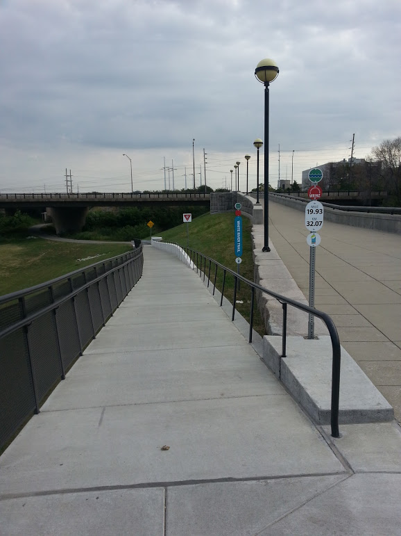
Heading back south. The signage is clear and pleasant. And, interestingly, there are concrete curbs along much of the trail. Personally I think it’s a good look:


I highly recommend riding or walking along this trail.
I “discovered” that fork in the trail when heading up to the Zoo and decided to see how far it goes. As you said, it pretty much goes to Raymond street right by the Eli Lilly campus. If you’re feeling adventurous and it is past business hours, you can probably “accidentally” turn into the Lilly park that you’ll go by. There’s not much in terms of biking (though there’s a few hiking trails that are little more than dirt paths) and is a nice change of pace to be surrounded by trees and water for a little bit even though you’re just barely outside of downtown.
Some of the lower dips in the trail can get really wet and muddy after it rains so be careful. I learned that the hard way.