Year archives: 2010

What Indianapolis Can Learn from Cincinnati’s Rail Lessons

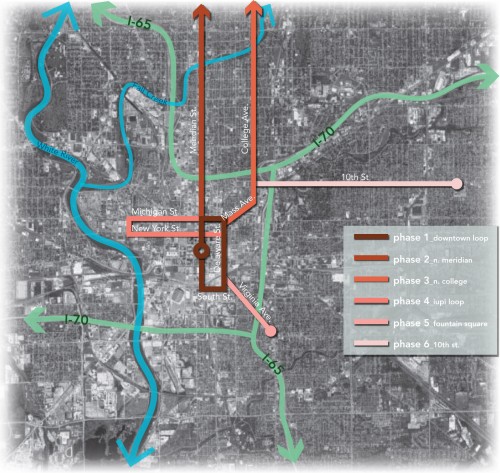
In early February of this year, IndyConnect, the transit plan that focuses on altering the central Indiana transportation system away from its current auto-only orientation towards one featuring rail, was released to the general public.  In the ensuing eight months, public meetings have been held, discussions have occurred, and opinions have been shared about the …

Fort Benjamin Harrison Reuse Underway

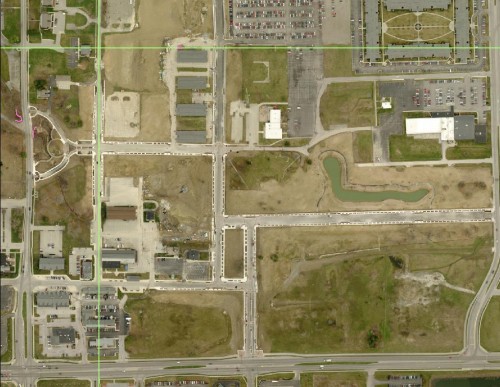
The ambitious Fort Benjamin Harrison Reuse project is underway in the city of Lawrence. Here’s an aerial shot of the land as it existed in April: It appears to me that a good deal of the street realignment has been completed.  The Civic Plaza is near the middle of the picture.  The streets are relatively …

From sketches to shovel: How The De Rimini fails

Sarojo Commons Initial Submission

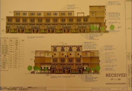
In the fall of 2009, an infill development on the west side of downtown Indianapolis caused a stir with local urbanists. The DiRimini, or as it was called early on, Sarajo Commons, was set to take an empty lot on N. Capitol Avenue. The project is targetting IUPUI students and potential downtown dwellers. Finally, someone was stepping …

What’s in a square mile?

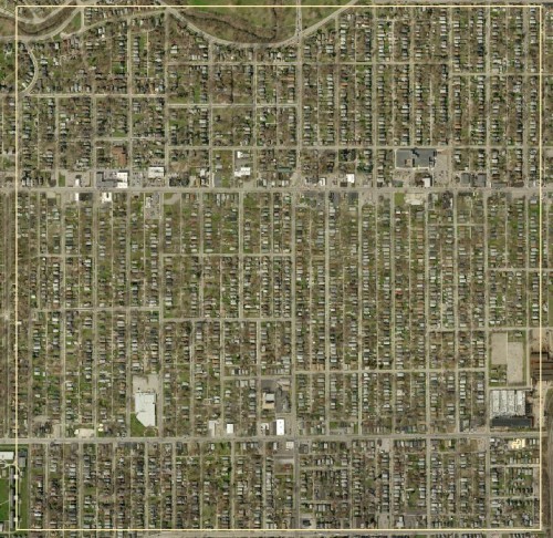
This blog talks frequently about density and sustainable development. I thought that some visual aids help to bring the point across. This is a square mile in the Castleton Area: This area is not far from the proposed Northeast Corridor, which as Curt Ailes astutely pointed out, is not very dense. Notice almost all of …