Can we find inspiration from a city located in a coastal desert climate? Â Well, I think so – but I’m the kind of guy that finds something to like no matter where I travel. Â Over my next few posts to the blog, I look forward to sharing a few things I saw in a recent trip to San Diego, CA. Â This first post highlights an area that seamlessly combines park space, residential density & a professional sports stadium.
This was my first trip to San Diego and I love exploring by bicycle, so I walked from my hotel on Coronado Island and took the ferry across the bay over to downtown where I had rented a bike from Bicycle Revolution.
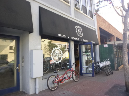
No, not that bike…
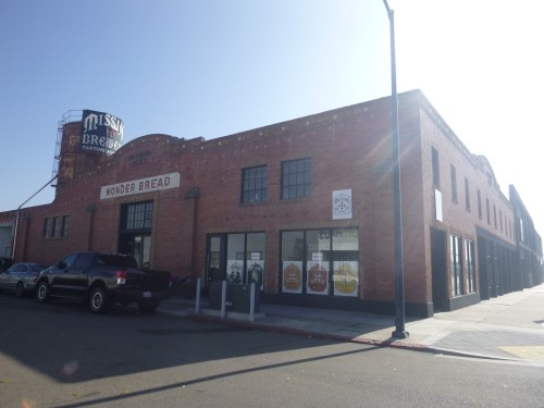
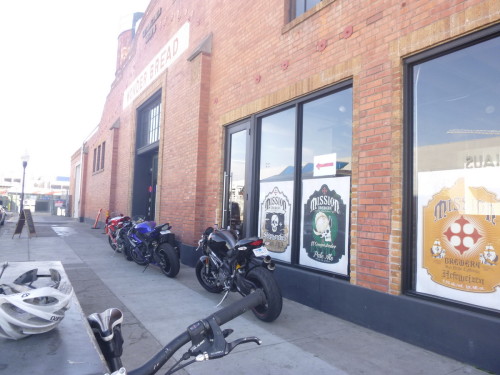
After a few hours riding some offroad trails up around Balboa Park, (wouldn’t it be great if Indy had some entry level mountain bike trails within a short 1-2 mile ride of downtown?) – I needed to refuel. Â Mission Brewery is a production facility & tasting room similar to Sun King with the added benefit of being located in a cool old Wonder Bread factory building – a great reuse of a factory building akin to the Stutz, Real Silk and Glove here at home.
 Â
Â
Yea! Â There are other…uh, bikers here!
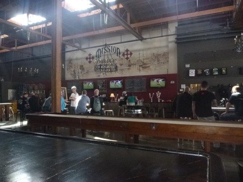
After a beverage and a burger from the Farm. Fish. Fork. food truck that rolled up, I was all set to hit the streets to explore the city and see what I could find.
One of the tips that came in from comments to my last post suggested that I should head over to the Petco Park (MLB San Diego Padres) area to see how they have built up the area around the stadium with residential developments and also how they created a unique park setting just outside the center field fence. Â Detailing this area makes up most of this blog entry.
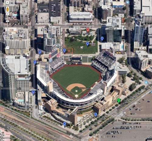
Features in the photos below are taken starting with the green marker and moving clockwise around to the red marker. Â Visible in the lower left corner of the photo are rail lines used by their Amtrak, Coaster & Sprinter trains.
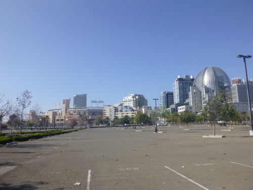
Approaching from the south I cut through the surface parking that supports game day spectators and made my way over to the side of the stadium nearest home plate.
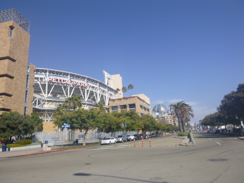
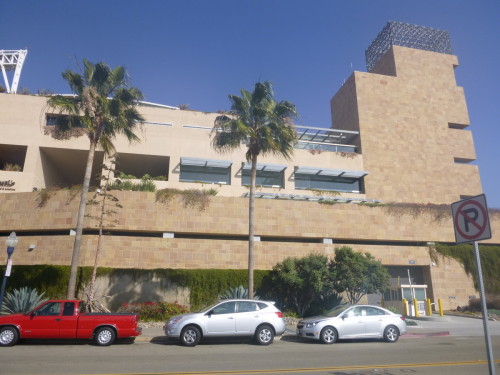
Panning left in the shot below, we can see the residential tower that is built along the left field. side of the park. Â Also, note the “facade” of the stadium is actually administrative buildings that create a buffer between the street and the stadium allowing the outward facing architecture to blend more readily with the residential structures found around the facility – even if they are mostly brick.
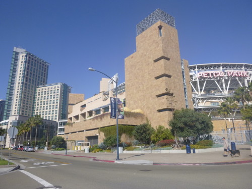
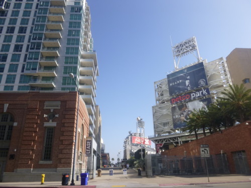
Further up the street we can now see the full height of the residential tower (left) as it overlooks the left field seating (right). Â As we head up the street between the two, we find the facade of the historic Western Metal Supply Company that (after a legal battle – sound familiar?) was saved and incorporated not only into the exterior of the stadium but also the interior of the park (we’ll get to that in a minute).


Just past this historic structure we come across the pedestrian only “street” that runs across the “top” or center field side of the stadium. Â Heading up this thoroughfare we find my favorite part of this area – Park at the Park!
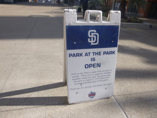
This green space is a public park available free of charge except on game days where it serves as a low cost, family friendly seating and play area – somewhat similar to the lawn seating at Victory Field – not quite as close to the action, but with more space for kids to run around.
On the right is the stadium. Â In the middle, a small kiddie baseball diamond with “picnic hill” in the distance just beyond the kiddie right field. Â Surrounding the park space are mixed use and residential structures.

On this sunny Sunday in January the park was vibrant as dads and their sons played on this urban “field of dreams” for kids and adults lounged on the hillside reading or playing with their dogs.
Although a wall blocks some of the view into Petco from the top of picnic hill, it is still a decent vantage point that allows kids to run around on game day. Â And even though I was shooting into the sun, you can still make out the Western Metal Supply building visible on the inside of the park. Â The corner of that building is protected by a bright yellow piece of angle iron and serves as the left field foul pole.
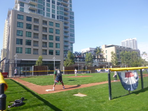
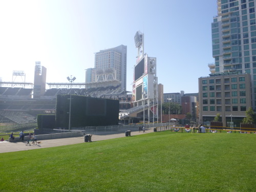

Still standing atop picnic hill with my back facing Petco, you can see the residential developments built right up against the park. Â If you look closely, you can see someone getting their spinning workout in on the balcony of the second floor – must be nice to be able to do that in January.
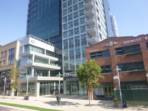
Just beyond picnic hill is the Tot Lot – a playground for children built into the park with signage that I found a bit humorous – likely placed there for when this space turns into a ticketed area during baseball games. Â I imagine security closely examining the juice boxes that kids are allowed to carry into the park on game day.
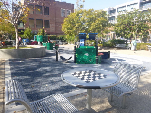

In my next post I’ll share images taken in other places and spaces around downtown San Diego that highlight small noteworthy details integrated into the urban infrastructure. Â Until then, what do you think about how this area around their stadium was developed?
Great post! I loved the pictures!
What a contrast to the parking wasteland and 5 laners skirting Lucas Oil.
You noted the rail tracks in the edge of the satellite view. I kind of wonder if the LOS/Shapiros/Lilly areas in Indy would have a better connection to downtown if the tracks would have been at grade through the south part of downtown. Walking from downtown San Diego to the water front would have been much less enticing if it involved a damp, dark underpass.
Of course we are comparing a baseball stadium (80 homes games) to a football stadium (8 home games).
I’d argue that is all the more reason to make it integrated into the community. If you can move the football stadium’s usage from 8 days –> 365 days that is a bigger win than moving a baseball stadium from 81 games –> 365 days.
Petco has done a nice job of this. I wonder if it would be possible to even more fully integrate a stadium into the city? By that I mean have the concession stands be regular restaurants/bars, have the main field open to be a park, have the seating be open at lunchtime. I know there are liability issues and having idiots running around messing up the field might be a headache, but it seems like we could do better.
We are also comparing an outdoor stadium in a 365-day sunny climate, possibly the US’ best climate, with a domed stadium in a city that actually has 4 seasons that include rain, snow, cold and damp.
I didn’t necessarily intend for my post to imply that the area around LOS could be developed in the same way – there are definitely differences with our climate and the “everyday density” of foot traffic.
But I do think that certain aspects of this area could be considered as we continue to transform our downtown with new development or the reconfiguring of existing spaces like Monument Circle, University Park etc.
For example, something like the seating/checkerboard seen in the Tot Lot creates infrastructure that in small way programs the space and encourages interaction between people more than a simple bench might. It could be placed in the plaza outside City Market, along the Cultural Trail in a pocket park, on Georgia Street or as part of the Monument Circle reconfiguration for instance.
And in some ways, some of what I saw has been done here – the facade of the Western States building is just that – a facade that covers a new structure built in behind it. Just like the facade of historic storefronts on the north side of Circle Centre across from the Conrad or along Meridian just south of Maryland.